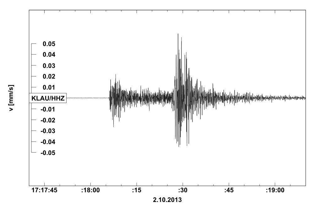
 Earthquake of 2nd October 2013


|
Additional info:
The earthquake was felt also in southern Moravia and Bohemia with intensity III on the EMS-98 macroseismic scale. If you felt it too you can report your experience here. The maximum epicentral intensity according to the ZAMG Austria reached level V-IV. It presented no threat to any of the Czech NPPs. It is the strongest aftershock recorded so far of the earthquake from 20.9.2013 with magnitude 4.5. The earthquake was followed by another one with magnitude 3.0 at 21:42. More details can be found at ZAMG Austria or the web page of the main shock. |
||||||||||||
|

Click to close
