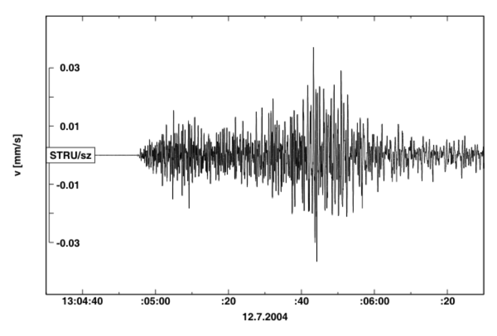
 Earthquake of 12th July 2004


|
Additional info:
The earthquake was felt even by people in the Czech Republic (České Budějovice, Praha, Pardubice, Český Krumlov) with intensity III on the EMS-98 macroseismic scale. If you felt it too you can report your experience here. It presented no threat to any of the Czech NPPs. The main shock was followed by a number of aftershocks, the strogest which were also recorded by the IPE. |
||||||||||||
|

Click to close
