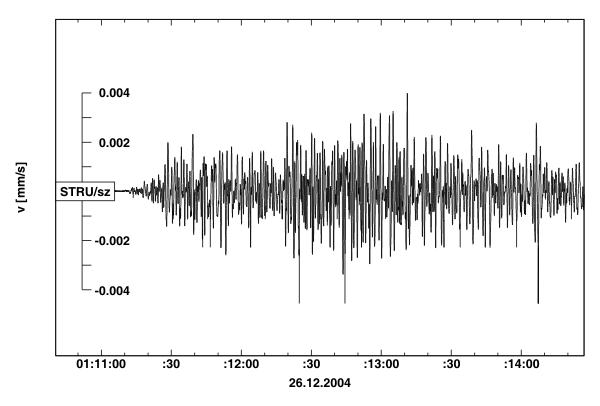
 Earthquake of 26th December 2004


|
Additional info:
The earthquake was not felt by people in the Czech Republic and no damage to buildings or infrastructure is expected here. The tsunami triggered by the earthquake destroyed a great part of the coast of southeast Asia and many islands in the Indian Ocean. The main shock was followed by a great number of aftershocks, dozens of which were also recorded by the IPE. The earthquake was the third largest quake in the last 100 years and the largest since 1964. More details can be found at USGS. |
||||||||||||
|

Click to close
